By: James Morgan
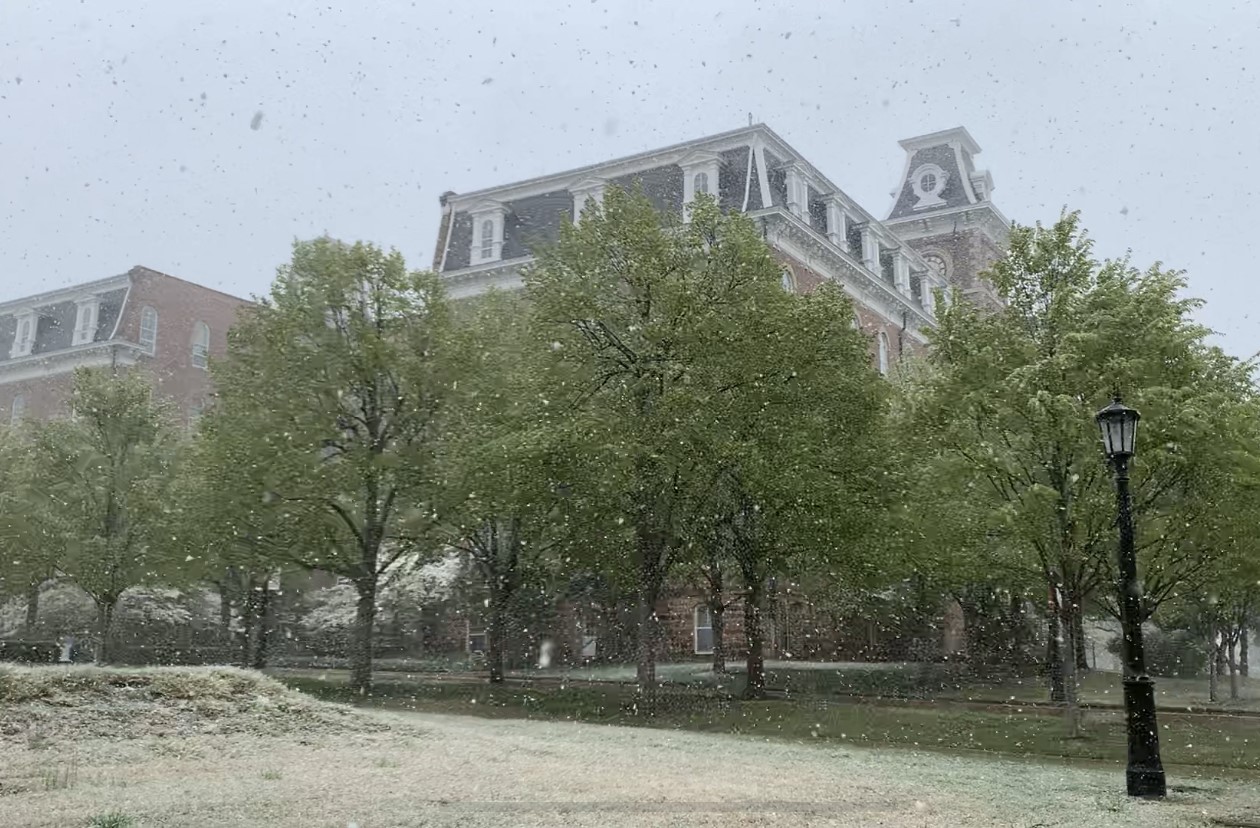
FAYETTEVILLE, Ark. (UATV) – Northwest Arkansas saw some snow earlier this week, but it was the cold temperatures Tuesday night and Wednesday morning that set records, both locally and in the River Valley.
The snow that fell Tuesday afternoon was Fayetteville’s second latest snowfall on record, behind May 3, 2013, when the city received half an inch.
“Getting a few flurries in April, that happens about every other year, every third year, that kind of thing,” said Darby Bybee, chief meteorologist at 40/29 News. “But getting an actual accumulation like what we saw the other day, that snow was really coming down.”
Temperatures in Fayetteville fell as low as 25 degrees Wednesday morning and some places in Bentonville recorded 24-degree temperatures.
Seeing an April freeze in Northwest Arkansas is not uncommon, and the average date for the last freeze recorded at Drake Field in Fayetteville is currently April 18.
“It’s not unusual to have freezing temperatures in April in Northwest Arkansas, that’s actually the norm,” said Bybee.
But with temperatures dropping below freezing at locations in the River Valley, this cold front turned into a historic event.
“I went back and looked at the records, all the way back to the 1800s,” said Bybee. “This was the latest last freeze, subfreezing temperatures, that Fort Smith has ever recorded.”
Freezing temperatures this late in the growing season pose a threat to outside plants, especially fruit crops that have already bloomed or are close to blooming.
Bybee said there was some damage to local berry crops, but farmers will not know the full extent of the damage until later this weekend.
Despite the freezing weather this week, Bybee said temperatures are moving toward a warmer pattern heading into May.